top of page
NARROW WATER
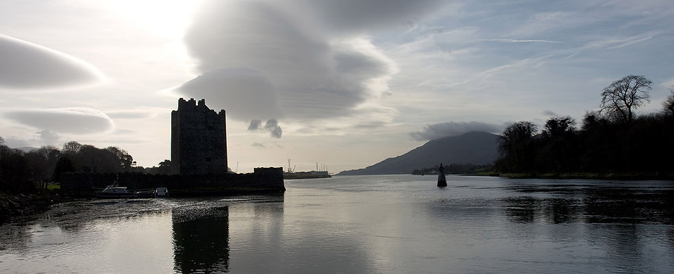
Narrow Water lies on a political fault line in Ireland that stretches back to ancient times. In Pre-Christian Ireland the Clanrye river formed part of the border between the old Gaelic kingdoms of Oriel and Ulidia.
It was into Carlingford Lough that Saint Patrick is believed to have sailed in the fifth century. He made his way up the river where, where legend has it that he planted a yew tree that would give the town of Newry its Gaelic name - Iúir Cinn Trá - the yew tree at the head of the strand.
In the 12th century Narrow Water lay at the northernmost reaches of the Pale, an area successfully settled by the Anglo-Normans, a stone’s throw from the yet unconquered Gaelic province of Ulster.
Following the partition of Ireland in 1922, Narrow Water found itself on the border between the newly formed Irish Free State and Northern Ireland.
In 2016 this narrow stretch of water assumed a geopolitical significance when the United Kingdom left the European Union - Northern Ireland having voted to stay.

bottom of page